.jpeg?width=1600&height=1000&name=Untitled-2%20(3).jpeg)
“You can’t improve what you can’t measure”
With over 75% of the world’s terrestrial habitats classified as ‘degraded’ and one million species at risk of extinction, reversing biodiversity loss has become a global priority. According to the World Economic Forum, more than half of global GDP is moderately or highly dependent on nature and its services. Biodiversity underpins many of the services we rely on — from clean water and air to food security and climate regulation — making the protection and restoration of nature critical for people and the planet.
As governments implement increasingly ambitious biodiversity legislation to protect their natural assets, the demand for accurate and scalable biodiversity monitoring has never been greater. Over the last decade, a new wave of monitoring tools and technologies has entered the market, each offering different capabilities, specialisms, and levels of detail. But with so many options available, which approach is right for your project?
This article examines the four pillars of biodiversity monitoring—traditional ecological field surveys, remote sensing, environmental DNA (eDNA), and bioacoustics—and explores how Gentian’s habitat-level remote sensing approach aligns with UK regulatory frameworks while delivering added value for biodiversity assessment and planning.
The Four Pillars of Ecological Monitoring
Traditional Field Surveys
Traditional field surveys (i.e. ‘boots on the ground’) are carried out by trained ecologists and involve direct observations during a site walkover. Field surveys will always remain a cornerstone of biodiversity monitoring as they offer expert insights required for planning applications, decision-making and legal compliance.
.jpeg?width=2000&height=1100&name=Untitled-2%20(1).jpeg)
In the UK, the UK Habitat Classification system (UKHab) has replaced the older Phase 1 Habitat Survey as the national standard for land-based habitat assessment. A UKHab survey involves an ecologist visiting a site to map and categorise habitat type and condition. While small sites (<2 ha) can be surveyed in a day, larger or more complex sites (>10ha) may take several days or weeks to map. Depending on the location, manual surveys may be logistically challenging or even hazardous. For example, surveying alongside roads or railway lines, steep slopes, waterlogged ground or post-industrial sites may raise safety and access issues. In such cases, site coverage may be limited. In addition, surveys are often limited to seasonal windows, typically late spring or summer when plant species are most visible and easiest to identify.
Remote Sensing
Remote sensing involves mapping and monitoring ecosystems without the need for a site visit. By using sensors mounted on drones, aircraft, or satellites, remote sensing captures aerial imagery and generates detailed 3D models of the Earth’s surface. One of the strengths of remote sensing lies in its ability to capture data in the near-infrared spectrum—light which is invisible to the human eye but which contains a treasure-trove of ecological information.
Looking at vegetation using near-infrared reflectance is like putting on a new pair of glasses. Suddenly the uniform tones of green across the landscape are transformed into a kaleidoscope of colours that makes distinguishing between habitats and even certain species much easier. The resulting images and terrain models can be analysed using humans or AI to classify habitats and monitor fine-scale changes over time.
.jpeg?width=2000&height=1100&name=Untitled-2%20(3).jpeg)
The key advantage of remote sensing lies in its scalability. Remote sensing enables consistent monitoring across large or inaccessible areas, providing objective, repeatable surveys. With the ability to capture fine detail from above, remote sensing can map everything from large forests to individual trees, ensuring nothing is overlooked. Remote sensing reduces the need for on-site visits, removing the challenges of restricted access, health and safety risks, and seasonal survey limitations.
By using the most detailed imagery commercially available and combining this with proprietary AI algorithms, Gentian delivers UKHab-based ecological surveys in a fraction of the time and cost required to send a trained professional to the site. Our platform identifies all the habitats present across a site and integrates this information within the Biodiversity Net Gain (BNG) metric to offer ecological surveys that support regulatory reporting, environmental assessments and strategic planning.
Environmental DNA (eDNA) Analysis
Environmental DNA (eDNA) works by analysing tiny traces of genetic material that organisms shed into their surroundings—such as skin cells, hair, faeces, or pollen. From just a teaspoon of soil or a few drops of water, eDNA sampling can identify a wide range of species present in or around a site. Without the need for long and costly field surveys, eDNA provides a fast, efficient way to generate species lists, often revealing hidden biodiversity—including nocturnal, elusive, or transient species that traditional survey methods might miss.
.jpeg?width=650&height=357&name=Untitled-2%20(2).jpeg)
However, eDNA does have its limitations. It cannot pinpoint the exact location of a species, nor confirm whether they are currently present on your site. Instead, it simply indicates that a species is nearby or has passed through the area, possibly weeks or even months earlier. In flowing water for example, DNA can travel significant distances. While most detections fall within 50–500 metres of the source, DNA has been recorded to travel more than 10 kilometres downstream.
Additionally, eDNA provides no information about how many individuals of a species are present. For example, eDNA can confirm the presence of a rare orchid, but not whether there’s a single plant or an entire field. Therefore using eDNA alone, it can be hard to track population numbers and monitor whether a species is growing or declining in abundance until it’s too late. While methods are being developed to estimate population size, these are still evolving.
Overall, eDNA offers powerful insight into species occurrence, but should be used alongside other ecological methods to build a complete picture of your ecological baseline and biodiversity value.
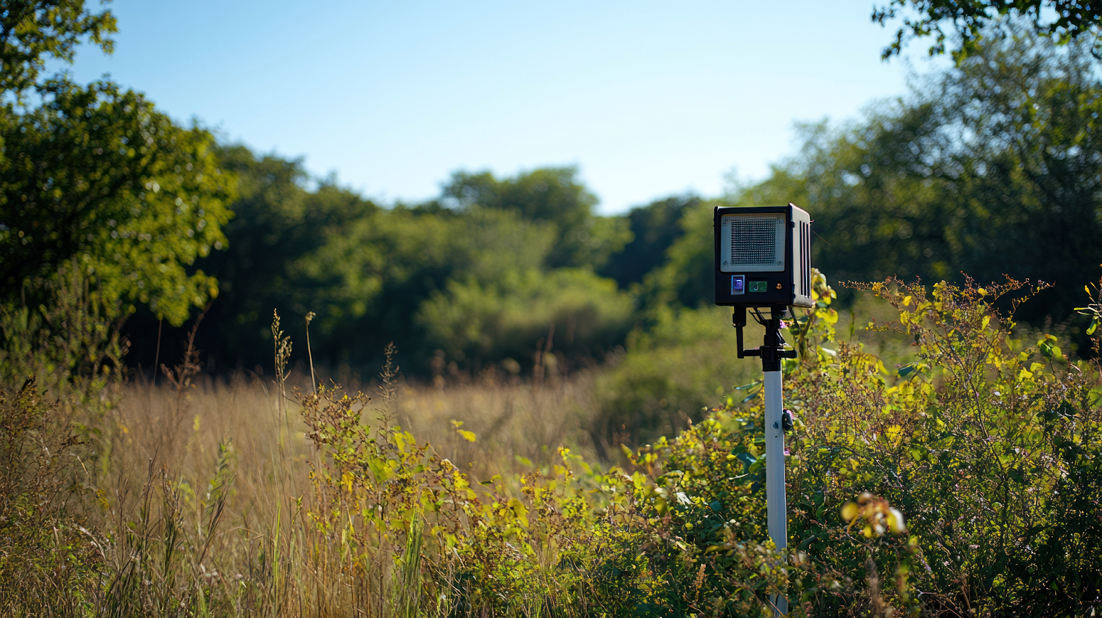
Bioacoustics and Sound Monitoring
Bioacoustic monitoring uses recording devices to capture animal sounds in nature. Researchers deploy weatherproof microphones to record various species' calls - from birds and frogs to bats. These recordings are analysed using spectrograms and AI to identify each species' unique acoustic signature. Modern AI systems can efficiently process vast amounts of audio data to detect and classify different species.
Platforms like Wilder Sensing in the UK exemplify this innovation. Their AI-based bioacoustic monitoring system utilises standard audio recorders to capture wildlife sounds. While initially focusing on birds, their platform automatically identifies species from recordings and is expanding to include bats, insects, and other vocal animals. This approach yields rich, unbiased data continuously, which the company notes provides "more detailed and consistent insights compared to traditional static and human-led surveys".
Studies show that acoustic surveys match or outperform human observers. In Polish meadow research, recorders detected more bird species than experts in the same area. For songbirds within 100 metres, automated systems matched ornithologists and caught calls humans missed. Passive acoustic monitoring identified 62% of bird species versus 34% from traditional methods. This shows how audio technology can augment or outperform human surveys, especially in dense vegetation.
Key challenges related to bioacoustics include managing large data volumes, accurately distinguishing species, and filtering background noise. The method cannot detect silent species and cannot confirm species absence when no calls are recorded. Nevertheless, bioacoustics offers an efficient, non-invasive approach to continuous biodiversity monitoring across large areas.
Remote Camera Traps
Remote camera traps and sensor networks have transformed wildlife monitoring by allowing researchers to observe animals without direct human interference. These systems utilise motion-activated cameras that capture images of wildlife as Zthey pass by, which is particularly useful for studying elusive or nocturnal species.
.png?width=626&height=344&name=Untitled-2%20(4).png)
Camera traps can be deployed in a variety of settings and left to operate for extended periods, often powered by long-lasting batteries. This method provides a non-invasive way to gather continuous data, which is crucial for accurate population assessments and behavioural studies.
However, while camera traps excel at recording larger animals, they are less effective at detecting smaller species, which can result in gaps in the data. Furthermore, the vast amount of imagery produced requires substantial processing resources, and the physical placement of cameras can be challenging in inaccessible terrains.
Emerging Techniques: Community Science and Mobile Technologies
Community-led biodiversity monitoring is expanding rapidly through platforms like iNaturalist, eBird, and Mosaic Earth. These tools harness citizen observations and AI verification to build open-access datasets at scale. Mobile applications allow users to collect geo-tagged habitat and species data, often with offline capability. This not only improves data collection efficiency but also supports AI model training and transparency.
Such platforms are increasingly useful for democratising data, enabling broader participation in biodiversity monitoring, and enriching scientific databases with diverse observations.
A Modern, Scalable Approach with Gentian
eDNA and bioacoustics perform well for detecting individual species. However, while eDNA and bioacoustics monitoring are mainly targeted towards species documentation, Gentian combines remote sensing and AI to map the habitat foundation that supports biodiversity as a whole. Habitats are the foundation of biodiversity. From woodlands to wetlands, each habitat supports a distinct community of species adapted to live there.
By identifying and mapping habitats, Gentian captures the ecological building blocks that underpin entire ecosystems, delivering accurate, repeatable insights without the need for field access. Our platform reduces the need for time-consuming field visits while delivering reliable, actionable data that supports conservation, planning, and sustainability reporting.
The future of biodiversity monitoring lies in synergy — through our innovative solutions, we empower organisations that impact nature with the tools they need to see and value the habitats they touch in unprecedented ways. Our services help organisations make swift, informed decisions that align with global efforts to reverse the biodiversity crisis.
Want to monitor nature at scale? Get in touch to see how Gentian can help.

-1.png?width=400&height=250&name=Sans%20titre%20(7)-1.png)
-1.jpeg?width=400&height=250&name=Untitled%20(21)-1.jpeg)
