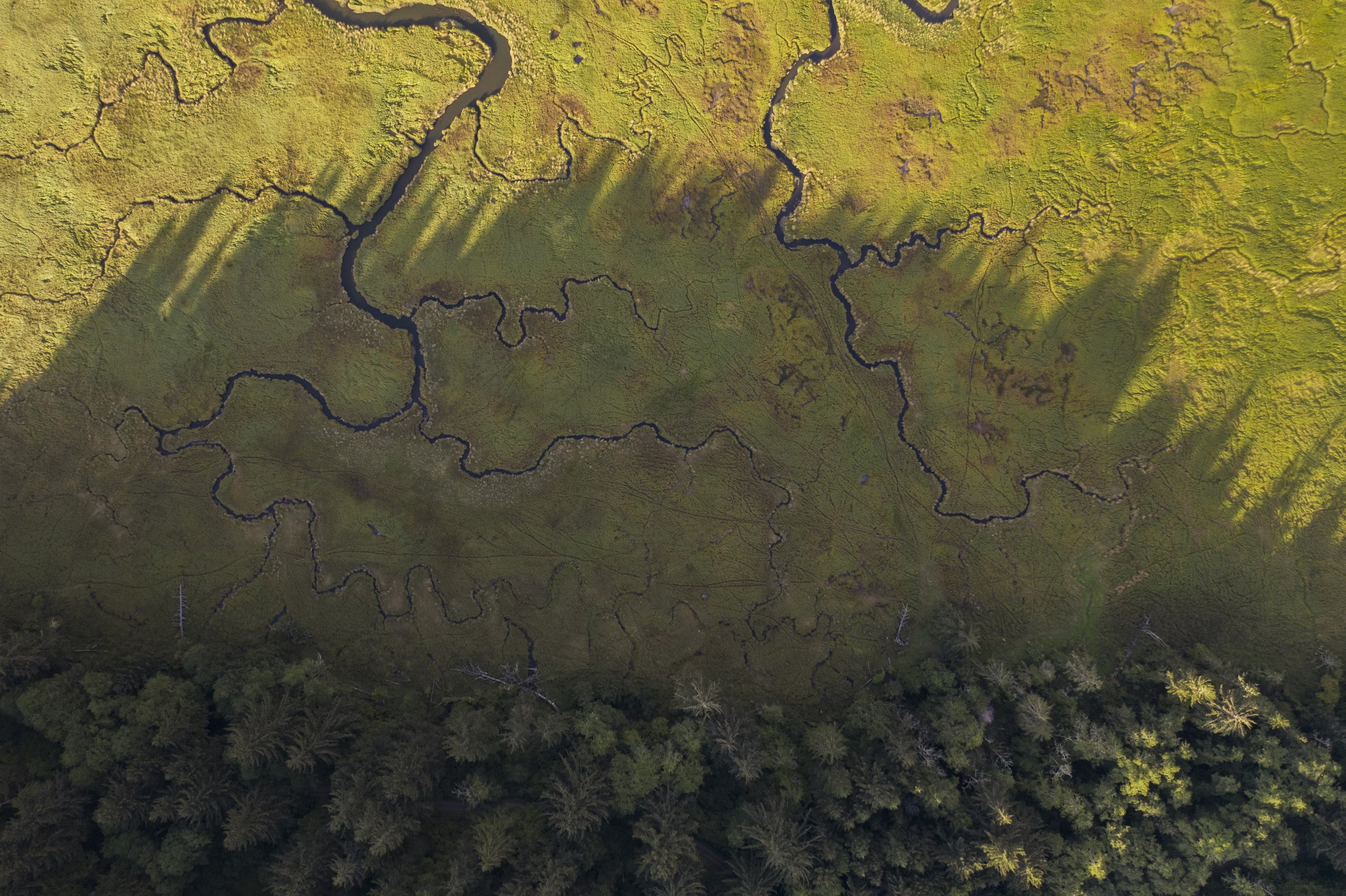
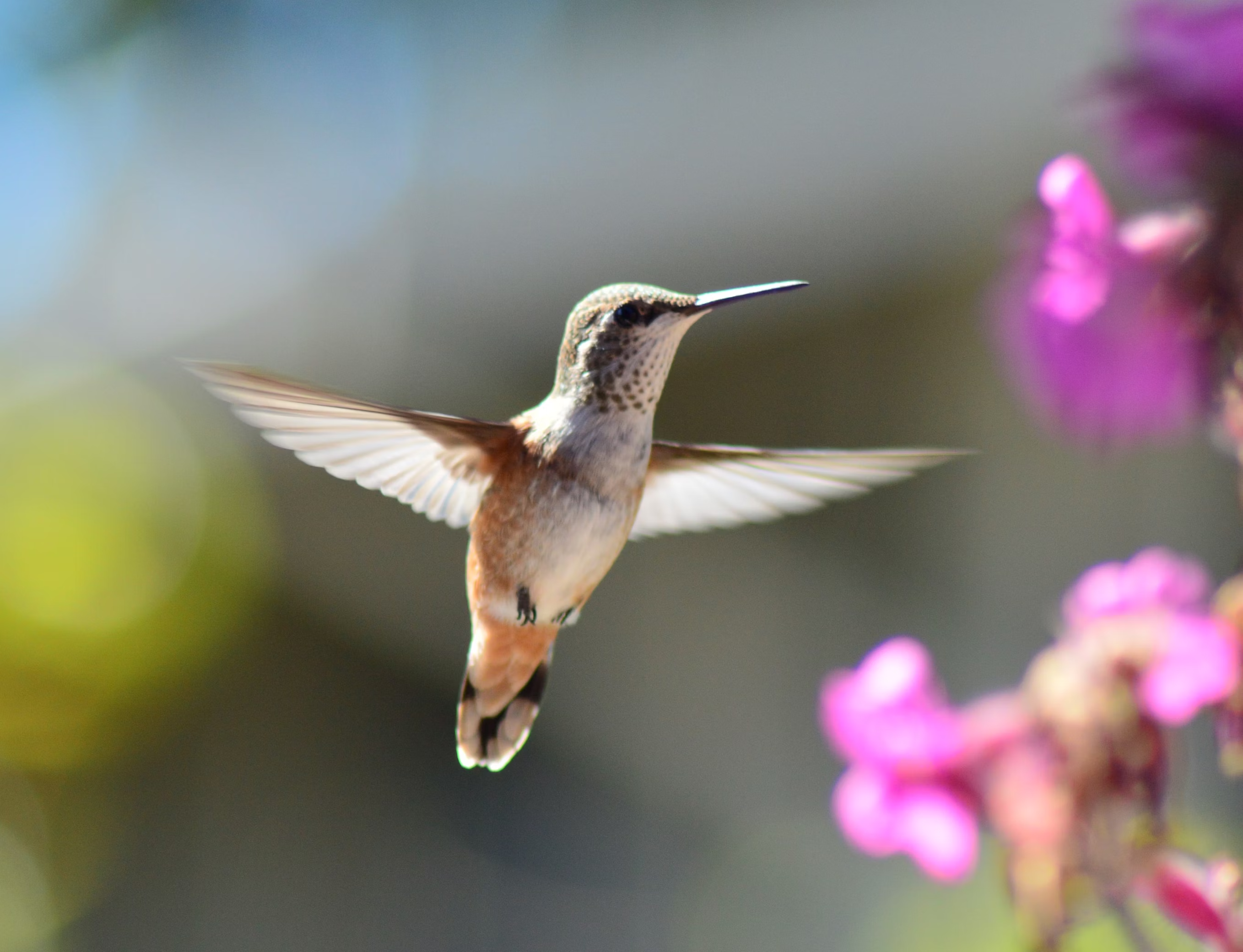
Scaling biodiversity monitoring with AI and remote sensing
Our technology combines cutting-edge remote sensing, AI-driven analysis, and ecological expertise to map and monitor biodiversity with unmatched accuracy and scale. Designed to translate complex environmental data into clear insights, it empowers organisations to protect and restore nature with confidence.

Our approach
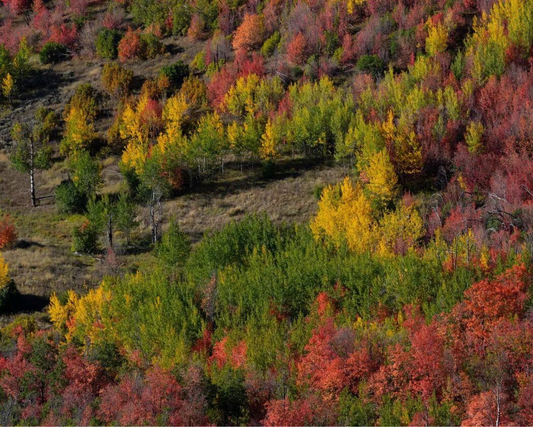
Our technology translates satellite imagery and AI-driven analysis into high-resolution habitat maps, providing a clear picture of biodiversity at scale. By classifying habitats with precision and aligning with recognised ecological frameworks, we deliver actionable insights that help organisations make informed, nature-positive decisions.
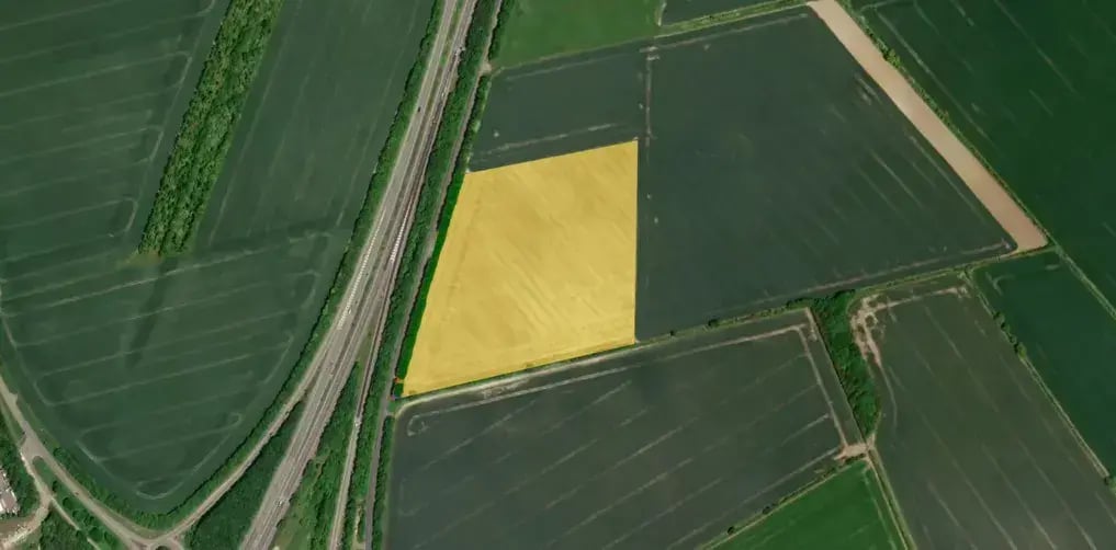
Define your area
Use our intuitive online platform to outline the area you want to analyse.
%20(1).png?width=1011&height=641&name=Untitled%20(3)%20(1).png)
Select your service
Choose from our suite of AI-powered solutions, including habitat mapping and urban climate resilience assessments.
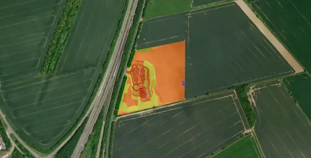
Let our AI do the work
Our advanced algorithms process high resolution satellite imagery, generating fast and accurate insights.
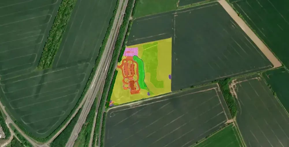
Access your results
View interactive reports on our platform or download high-resolution data to integrate seamlessly into your existing systems.
No expertise needed
Our platform is designed for everyone—whether you're an ecologist or a policymaker. With intuitive tools and seamless integration, accessing high-quality biodiversity data has never been easier.
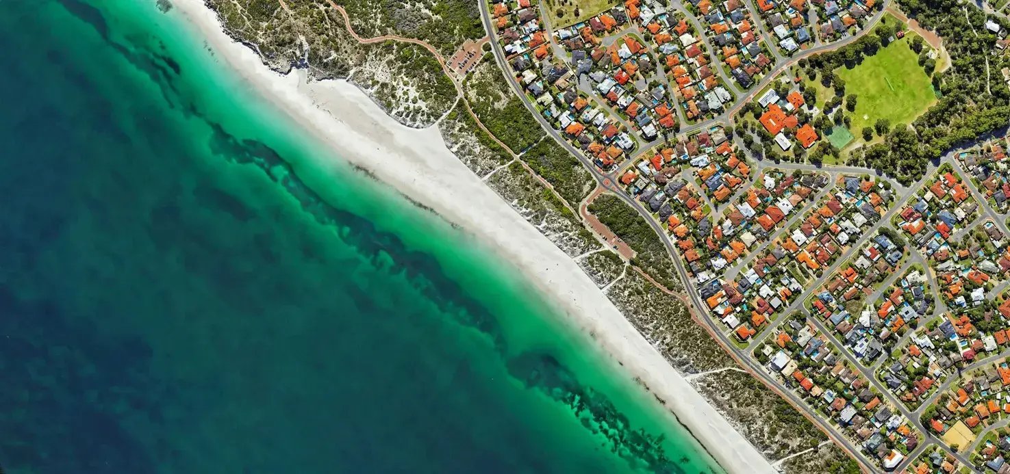
Scalable for any project size
From small urban sites to entire landscapes, our technology adapts to your needs. Get fast, accurate habitat mapping without the time and resource constraints of traditional surveys.
Reliable data you can trust
Built by ecologists and AI specialists, our methodology ensures scientifically robust results. Every dataset is aligned with recognised classification systems for consistency and credibility.

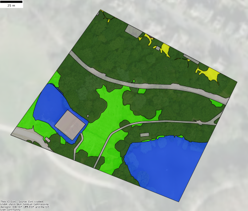

Gentian True Sight
Instant Biodiversity Net Gain (BNG) assessments
Rapid AI-powered habitat mapping software compatible with BNG metrics. Ideal for quick site screening and feasibility studies.
.png?width=952&height=671&name=unnamed%20(4).png)

Gentian True Sage
Detailed habitat assessments and monitoring
Comprehensive biodiversity mapping software with high precision and accuracy, designed for nature-positive reporting, planning, and ongoing monitoring.
_11zon.webp?width=1173&height=1058&name=Untitled%20design%20(3)_11zon.webp)

Gentian True Oracle
Bespoke enterprise biodiversity intelligence
Tailored AI-driven environmental insights and custom solutions for complex, large-scale ecological and sustainability challenges.
.png?width=2048&height=690&name=unnamed%20(2).png)

Gentian True Urban
Urban green infrastructure analysis
Detailed mapping of urban habitats, green roofs, and climate resilience to support sustainable city planning and development.