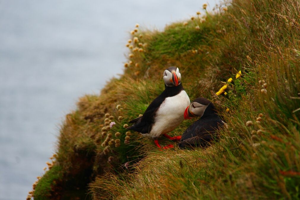
Habitat Mapping
Gentian’s remote habitat mapping solutions combine AI with high-resolution satellite imagery to deliver fast, accurate, and scalable insights across habitat types. Whether you need a baseline for compliance support, long-term monitoring, or biodiversity risk & opportunity identification, we help you see the landscape clearly.
.jpg?width=1600&height=1067&name=claudel-rheault-ZVbv1akA-l4-unsplash%20(1).jpg)
How our habitat mapping works
Gentian uses sub-50cm resolution satellite imagery and proprietary AI to deliver fast, remote habitat mapping with exceptional detail. We accurately classify habitat types and delineate ecological boundaries across any site or landscape.
Our outputs align with recognised biodiversity metric standards, including UKHab and EUNIS, ensuring compatibility with planning tools, policy frameworks, and ecological assessments.
Designed for flexibility, our data also supports nature-related disclosures such as TNFD, enabling organisations to understand, monitor, and report on habitat conditions with confidence.
%20(2)%20(2)%20(1)%20(1)%20(1)%20(1)-1.png?width=1349&height=767&name=Untitled%20design%20(3)%20(2)%20(2)%20(1)%20(1)%20(1)%20(1)-1.png)
Define your area
Submit your site boundary via our online platform or upload a shapefile.
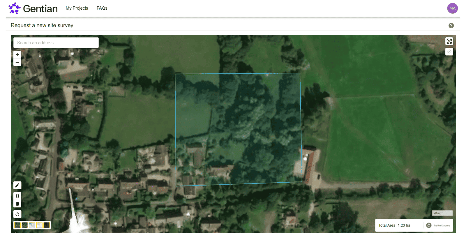
AI-powered analysis
Our AI models classify habitat types using the latest high-resolution imagery.
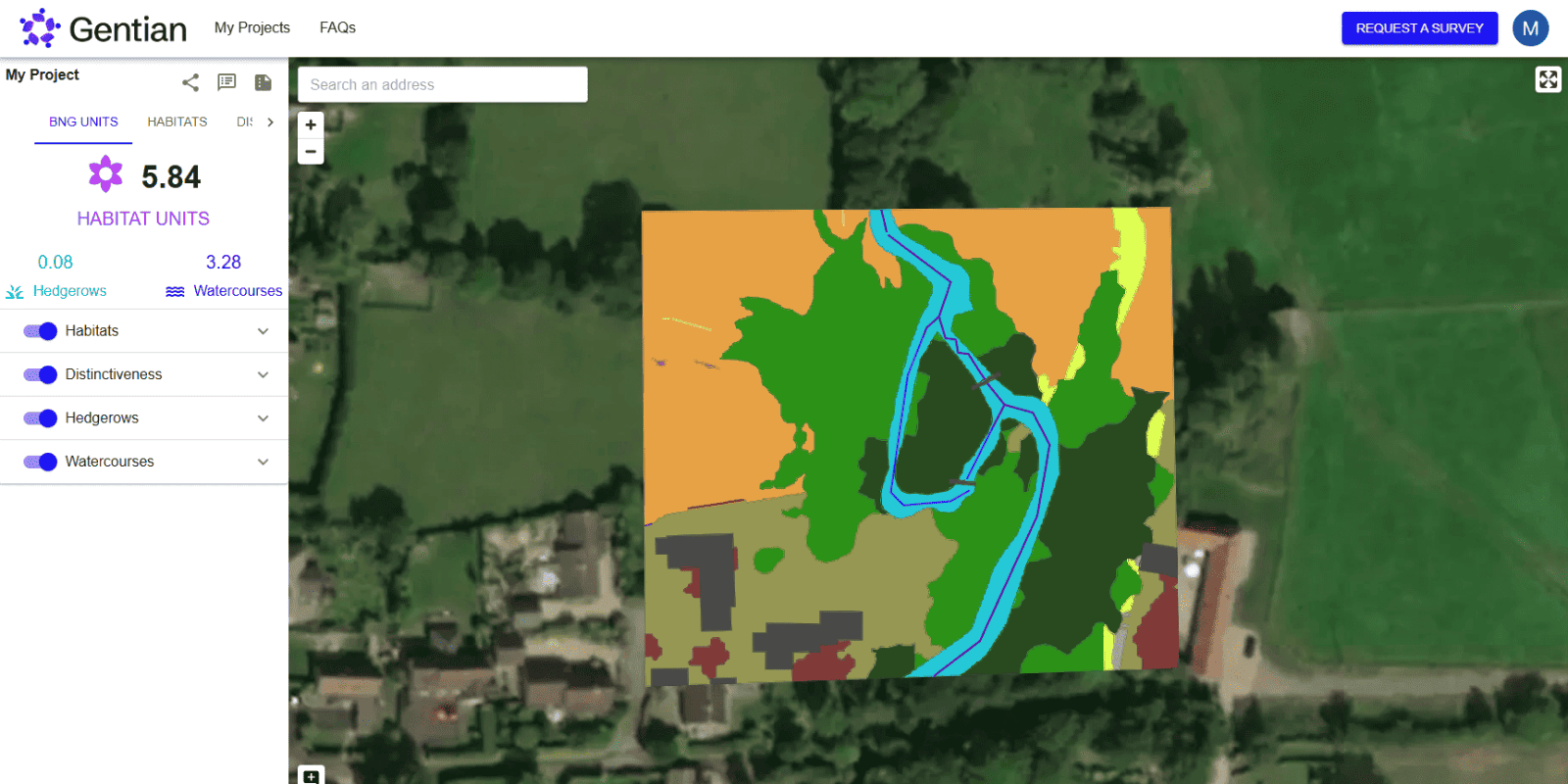
Receive your insights
We generate spatial datasets and reports reviewed by our in-house experts.

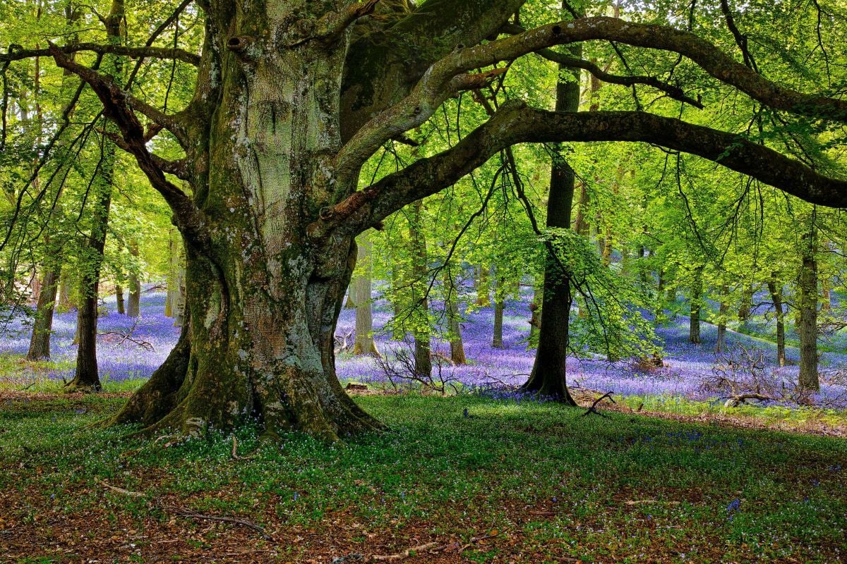
What is habitat mapping?
Habitat mapping is the process of identifying and delineating different habitat types within a defined area. Habitats are distinct areas of land or water that support particular ecological communities—such as grasslands, woodlands, wetlands, or urban green spaces. Mapping them provides crucial insights into the structure, quality, and extent of natural environments. It plays a vital role in biodiversity assessment, conservation planning, regulatory compliance, and ecological monitoring.
.jpg?width=2000&height=1500&name=dmitrii-shirnin-60iHl9QcqKA-unsplash%20(1).jpg)
Why is habitat mapping important?
Habitat mapping provides foundational data for regulations such as biodiversity net gain (BNG) and the Corporate Sustainability Reporting Directive (CSRD), nature-related disclosures such as the Taskforce on Nature-related Financial Disclosures (TNFD), ESG reporting, land-use planning, and ecological restoration. It supports better decision-making and improves the accuracy of any nature-focused strategy.
.jpg?width=4355&height=2906&name=nora-jane-long-DLaPP0Emq2k-unsplash%20(1).jpg)
What methodologies are used?
We align with UKHab (UK Habitat Classification) and the Statutory Biodiversity Metric used in the UK, while also supporting international standards such as EUNIS (European Nature Information System) and the IUCN Habitats Classification Scheme. For unique project requirements, we can implement custom classification schemes tailored to specific habitats, geographies, or stakeholder needs.
.jpg?width=2500&height=1667&name=nick-fewings-35siGA88HT4-unsplash%20(1).jpg)
Why choose Gentian?
Our approach blends scientific rigour with technological efficiency. By using satellite imagery and AI, we eliminate the need for repeated field visits, saving time and reducing cost. We focus on data quality, consistency, and compatibility with national and international biodiversity frameworks.
.jpg?width=1800&height=1192&name=soyoung-han--WO4dMdf_to-unsplash%20(1).jpg)

Speed & Scale
Rapid delivery of data, scalable from single plots to national and international portfolios.

Accuracy
Sub-50cm resolution imagery and robust AI classification aligned to standard and recognised taxonomies.
.png?width=100&height=100&name=icons8-trust-100%20(1).png)
Expertise
Premium habitat maps reviewed by our in-house experts and supported by a team with decades of experience in remote sensing and biodiversity.

Usefulness
Compatible with statutory metrics, TNFD, CSRD, and internal ESG frameworks.
Landowner transforms its biodiversity monitoring, demonstrating measurable net gains across 50+ Sites
A large UK cemetery and crematoria operator used Gentian True Sage to map 50+ sites in 90 days, proving a 29-unit biodiversity uplift. The platform cut costs, streamlined reporting, and ensured scalable, evidence-based tracking.

.png?width=1540&height=558&name=GFSA_DigitalBadge_withoutyear_2024%20(1).png)


Biodiversity Net Gain (BNG) Assessments
Gentian’s Biodiversity Net Gain (BNG) Assessments use advanced AI and high-resolution satellite imagery to deliver fast, accurate habitat surveys for site scoping and selection.
.jpg?width=1800&height=1200&name=joel-holland-TRhGEGdw-YY-unsplash%20(1).jpg)
Ecological Surveys
Gentian delivers high-resolution, AI-powered ecological surveys that are faster, more scalable, and cost-effective—offering reliable insights to support planning, land management, and sustainability goals.
Biodiversity Monitoring, Reporting and Verification (MRV)
Our AI-powered MRV solutions deliver accurate, remote assessments of habitat change and ecological condition over time, aligned with TNFD, CSRD, and other global standards.
Phase 1 Habitat Surveys
Gentian delivers remote Phase 1 Habitat Surveys using AI and high-resolution satellite imagery—providing rapid, cost-effective alternatives to traditional field-based assessments, whether for early-stage scoping, risk screening, or desktop baselines.