Developers
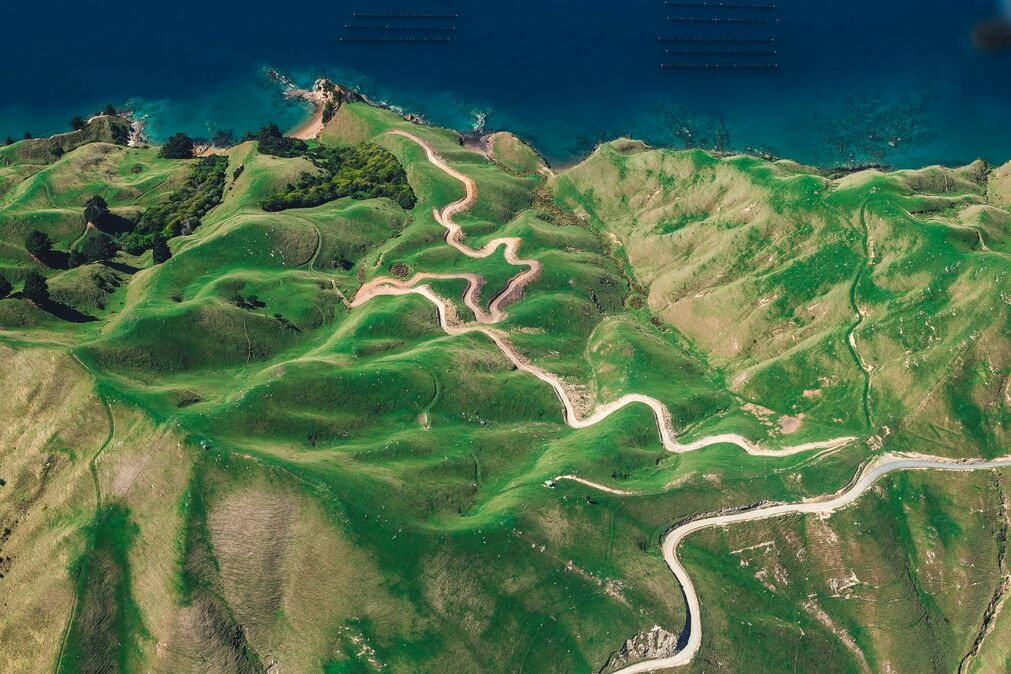
Gentian helps real estate, property and development teams understand biodiversity risk and opportunity across sites and portfolios. Use AI-powered habitat mapping to screen land before acquisition, support planning and BNG scoping, and build credible nature baselines for ESG, TNFD and CSRD reporting, without sending teams to every site.

.webp?width=1540&height=558&name=GFSA_DigitalBadge_withoutyear_2024%20(1).webp)

.png?width=2000&height=720&name=Hang_Lung_Properties_logo%20(1).png)

Screen sites before you commit
- Spot likely biodiversity constraints and BNG implications early, before purchase or design is locked in.
- Compare sites consistently across your pipeline using high-resolution habitat mapping.
- Direct ecologists to the places that matter most, reducing time, cost and uncertainty.
The data accuracy you need - without the time sink of field surveys
- High-resolution habitat and feature mapping you can trust for early screening and planning.
- Targeted outputs that reduce uncertainty, while avoiding weeks of site-by-site surveys.
- Direct fieldwork to the highest-risk areas, so ecology time is spent where it matters most.

Access historical analysis to understand biodiversity trends
- Look back across past seasons and years to see how habitats have changed over time.
- Establish a defensible baseline and trendline to support strategy, reporting and due diligence.
- Identify persistent issues (loss, fragmentation, invasive pressure) and where recovery is happening.
%20(1).png?width=1920&height=1080&name=Untitled%20(1)%20(1).png)
Make informed decisions with actionable insights - in rapid time
- Fast site insights to support acquisition, design options and planning conversations.
- Clear, decision-ready outputs that translate biodiversity data into next steps.
- Compare sites and scenarios consistently across your pipeline, not case-by-case guesswork.

Scalable pricing model for tasks & cost-saving
- Pricing that scales across multi-site pipelines and portfolios, reducing cost per hectare at volume.
- Run the assessments you need, when you need them, without committing to heavy overhead.
- Lower total cost of ownership by cutting repeat surveys, rework and late-stage surprises.


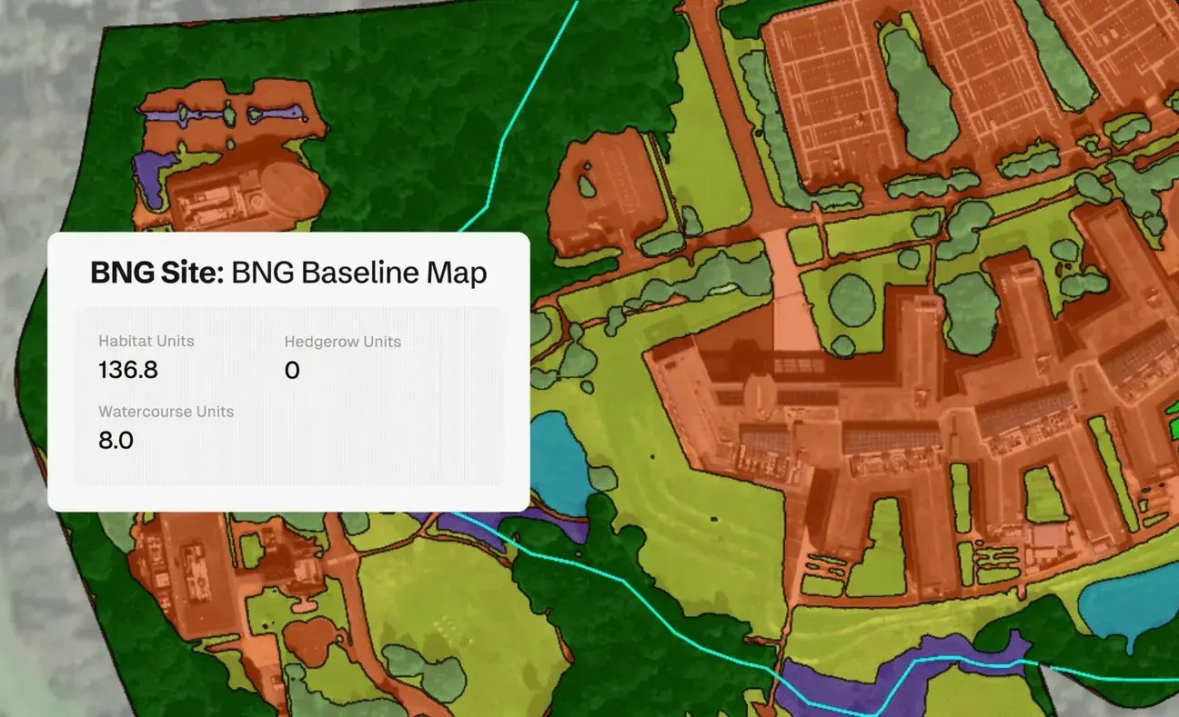
Biodiversity Net Gain (BNG) Assessments
Gentian's Biodiversity Net Gain (BNG) Assessments use advanced AI and high-resolution satellite imagery to deliver fast, accurate habitat surveys for site scoping and selection.
.jpg?width=1200&height=900&name=nathan-queloz-uH6aUN38ep8-unsplash%20(1).jpg)
Habitat Mapping
Gentian’s remote habitat mapping solutions combine AI with high-resolution satellite imagery to deliver fast, accurate, and scalable insights across habitat types.
.jpg?width=1800&height=1200&name=paul-summers-ArtVJ-217Cw-unsplash%20(1).jpg)
Biodiversity MRV
Gentian enables organisations to track biodiversity outcomes with clarity and confidence. Our AI-powered MRV solutions deliver accurate, remote assessments of habitat change and ecological condition over time, aligned with TNFD, CSRD, and other global standards.
.jpg?width=1200&height=900&name=joao-pedro-schmitz-vs6ltDq6Ynk-unsplash%20(1).jpg)
Tree Surveys
Gentian delivers fast, remote tree surveys using high-resolution satellite imagery and AI-powered analysis. We help landowners, developers, asset managers and more map canopy cover and estimate tree counts, without the need for boots on the ground.

Summary
Gentian empowers real estate and development teams to understand biodiversity across sites and portfolios quickly, consistently and at scale. Use our habitat mapping to de-risk acquisitions, support planning, and build credible nature baselines for reporting and strategy.
Ready to make your portfolio more nature-positive?
Contact us below to learn how Gentian can support your next project.