Harnessing deep ecological expertise to tackle the biodiversity crisis
The deep ecological expertise behind our technology ensures scientifically robust, practical, and meaningful insights for nature-positive decision-making. Here’s why and how we’re tackling one of the greatest challenges of our time: the biodiversity crisis.
Gentian goes beyond current survey methods
Traditional ecological survey methods, including manual field surveys, environmental DNA (eDNA) sampling, and drone-based assessments, have been instrumental in biodiversity monitoring. However, they present several challenges that can limit their effectiveness, especially when addressing the biodiversity crisis at scale.
Challenges of on-site ecological surveys
On-site surveys are limited scalability and coverage
On-site surveys often require significant time, labour, and resources, making it challenging to monitor large or remote areas comprehensively. This limitation hampers our ability to gather extensive data necessary for informed conservation strategies.
eDNA method constraints
While eDNA offers non-invasive sampling advantages, its effectiveness can be influenced by factors such as DNA degradation rates, environmental conditions, and the potential for contamination. These variables can complicate data interpretation and affect the reliability of biodiversity assessments.
Drone survey limitations
Drones provide aerial perspectives but may struggle with dense vegetation, adverse weather conditions, and limited flight durations. These constraints can result in incomplete data collection and may not fully capture ground-level biodiversity.
Taxonomic identification challenges
Accurate species identification during manual surveys requires specialized taxonomic expertise, which is in decline. Misidentification risks can lead to inaccurate data, affecting conservation planning and decision-making.
An approach backed by ecologists
Gentian was built by passionate ecologists and sustainability experts who wanted to harness AI to bring greater visibility over vital natural assets. Our technology is backed by world leading ecologists and AI specialists, and our method involves rigorous quality assurance by our team to ensure our data is accurate and fit-for-purpose.
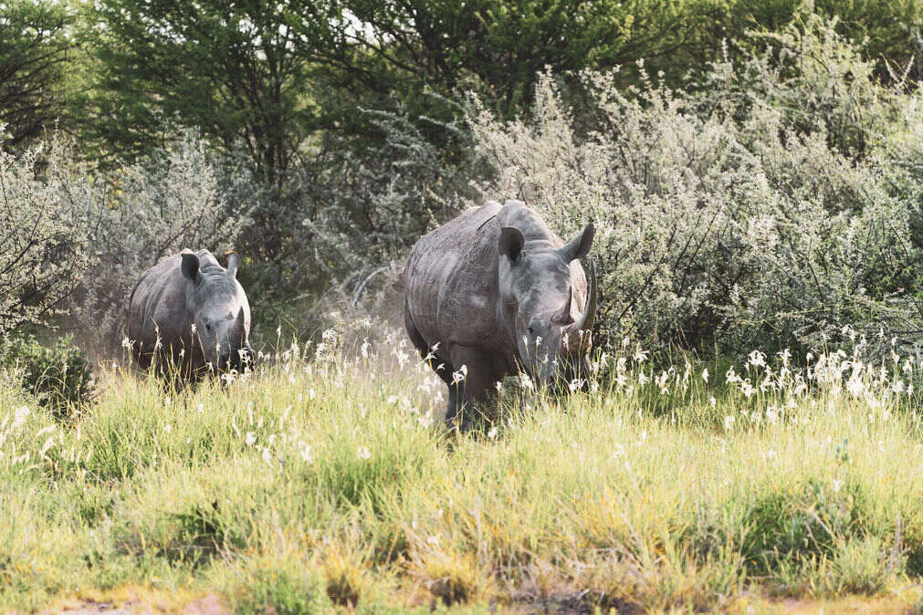
Gentian doesn't rely on outdated and patchy pre-existing data
Gentian doesn't aggregate existing data. We create new data using ultra high-resolution satellite imagery so that our technology doesn't rely on existing data which can be over 10 years old or, in some geographies, entirely unusable. Because we generate site-specific data, the level of detail we can provide can exceed that of public data sets 100 fold and we aren't limited by geography.
Our data aligns with global standards
Biodiversity is complex and dynamic, making it challenging to measure directly at scale. Instead, we use habitat as a proxy: mapping and classifying different ecosystems to understand the conditions that support species. Habitat type, quality, and connectivity provide reliable indicators of biodiversity health, helping organisations track changes, assess risks, and make informed conservation and land management decisions. By using well-established habitat classification frameworks, we ensure our insights align with global standards, making them practical, actionable, and scientifically robust.
The habitat classification systems we use
UKHab
The UK Habitat Classification (UKHab) provides a standardised approach to mapping and assessing habitats across the UK. It’s widely used in biodiversity net gain (BNG) assessments, conservation planning, and land management, ensuring consistency and accuracy in ecological reporting.
IUCN Classification Scheme
Developed by the International Union for Conservation of Nature (IUCN), this system categorises global habitat types based on ecological function and structure. It supports international conservation efforts, aligning habitat assessments with global biodiversity policies and frameworks like the IUCN Red List of Ecosystems.
EUNIS Habitat Classification
The European Nature Information System (EUNIS) provides a detailed framework for classifying habitats across Europe. Designed to support conservation initiatives and EU legislation, it enables consistent biodiversity assessments across countries, ensuring habitat data is comparable and actionable at a continental scale.
Urban biodiversity
Biodiversity isn’t just a rural or wilderness issue—cities and towns are critical to reversing nature loss. With urban areas expanding rapidly, the way we design, manage, and restore nature in our cities will shape the future of biodiversity and climate resilience. Urban green spaces—parks, street trees, green roofs, and wetlands—not only support wildlife but also improve air quality, reduce heat, enhance well-being, and strengthen climate adaptation efforts.
At Gentian, urban biodiversity is in our DNA. We believe that to solve the biodiversity crisis, we must integrate nature into the spaces where people live and work. By mapping urban ecosystems with precision, we provide the insights needed to protect and enhance green infrastructure, ensuring that cities become hubs for biodiversity rather than barriers to it. From local authorities to developers, we empower decision-makers to create thriving, nature-positive urban environments—because the future of biodiversity depends on the landscapes we shape today.
Technology FAQ
How does Gentian’s technology work?
Gentian combines advanced AI, remote sensing, and high-resolution satellite imagery to map and monitor habitats with exceptional accuracy. Our proprietary machine learning models classify habitats according to recognised ecological frameworks, providing scalable and reliable biodiversity insights.
How accurate is Gentian’s habitat mapping?
Our AI models are trained on high-resolution imagery (<50 cm) and extensive ground-truth data to ensure precision. Our data undergoes rigorous quality assurance, including expert ecological review, to deliver scientifically robust and actionable insights.
Can Gentian’s data be integrated into my existing GIS or reporting system?
Yes. Our habitat mapping data is delivered in standardised formats, including GeoJSON, shapefiles, and raster datasets, ensuring seamless integration with GIS platforms and compliance reporting tools such as TNFD, CSRD, and biodiversity net gain (BNG) frameworks. Additionally, we provide summary statistics in spreadsheet format (CSV) and high-quality PDF maps, making it easy to incorporate insights directly into reports.
How often is Gentian’s habitat data updated?
The frequency of updates depends on the project and the available satellite imagery. We prioritise the most recent high-resolution data, with our advanced models enabling year-over-year comparisons to monitor habitat changes over time.
How does Gentian’s technology compare to traditional ecological surveys?
Unlike manual surveys, which can be time-consuming and resource-intensive, Gentian provides rapid, scalable, and cost-effective habitat mapping across large areas. While our technology complements traditional fieldwork, it offers a consistent, remote-first approach that reduces reliance on site visits and improves long-term monitoring.
Ecology FAQ
Why do you focus on habitats instead of counting individual species?
Directly monitoring all species in an ecosystem is incredibly complex and resource-intensive. Instead, we use habitat as a reliable indicator of biodiversity. By mapping habitat type, condition, and connectivity, we can assess the ecosystems that support wildlife, track changes over time, and provide actionable insights for conservation and land management.
How accurate is habitat classification for measuring biodiversity?
Habitat classification is a globally recognised method for assessing biodiversity. Our approach combines ecological expertise with high-resolution data to ensure precision. By aligning our assessments with well-established classification systems like UKHab, IUCN, and EUNIS, we provide scientifically robust and actionable insights tailored to each project’s needs.
Can your habitat mapping help with biodiversity net gain (BNG) and other regulations?
Yes. Our habitat data is designed to align with regulatory frameworks such as BNG in the UK, TNFD reporting, and EU biodiversity policies. By providing high-accuracy habitat classifications and monitoring changes over time, we help organisations meet compliance requirements and drive measurable nature-positive outcomes.
Contact us
Whether you’re scoping a site, shaping a sustainability strategy, or monitoring long-term change, we’re here to help. Let’s explore how Gentian’s tools can support your environmental goals with speed, accuracy, and clarity.