FOR DEVELOPERS & LANDOWNERS
Fast biodiversity insight for better site decisions
Gentian uses AI and high-resolution imagery to help developers and landowners understand biodiversity value earlier in the planning process. Save time and money by using True Sight for rapid BNG scoping, site screening and portfolio review, then move to True Sage when you need more detailed, ecology-reviewed habitat mapping.
.webp?width=1540&height=558&name=GFSA_DigitalBadge_withoutyear_2024%20(1).webp)


.svg)










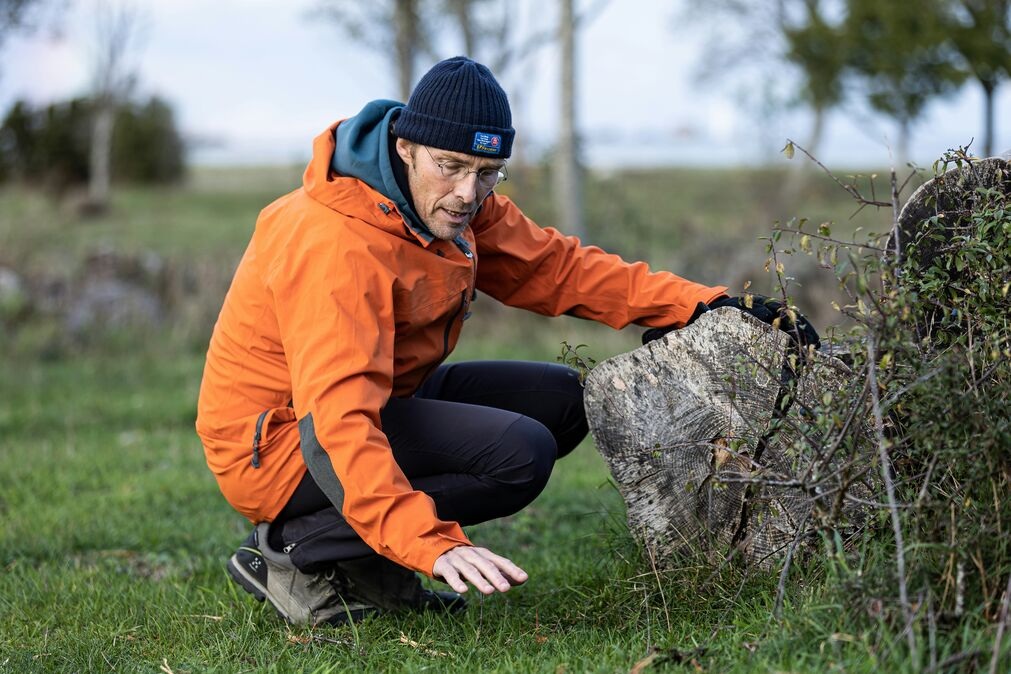
Scope sites before delays build up
Planning and acquisition decisions often move faster than traditional ecological data can be gathered. Gentian helps you understand biodiversity value earlier, so your team can identify constraints, opportunities and likely next steps before committing unnecessary time and budget.
-2.png?width=1920&height=1080&name=Website%20Graphics-3%20(1)-2.png)
Apply one workflow across every site
Whether you are reviewing one site or a multi-site development pipeline, Gentian gives you a consistent biodiversity baseline workflow. Compare sites, prioritise detailed ecological review and create a repeatable process across your portfolio.
.png?width=1920&height=1080&name=Website%20Graphics-4%20(1).png)
Support your ecology and design partners
Gentian does not replace your ecologist. We provide the habitat data layer that helps ecology, planning and design teams work from a clearer starting point, with outputs that can support BNG scoping, design conversations and long-term monitoring.
1. Submit your site boundary
Upload or draw a site boundary through the Gentian Online Platform, or connect via the True Sight API.
2. Receive rapid habitat insight
Gentian analyses high-resolution imagery using AI to classify habitats and generate biodiversity insights for early-stage review.
%20(1).png?width=1920&height=1080&name=Website%20Graphics-3%20(2)%20(1).png)
3. Review BNG-relevant outputs
Access habitat data, distinctiveness tables, biodiversity unit estimates and GIS-compatible files that can support BNG scoping and partner workflows.
.png?width=6000&height=4000&name=Sans%20titre%20(7).png)
4. Decide what needs deeper review
Use the results to prioritise sites, brief ecology partners and identify where more detailed assessment may be needed.
BNG mapping and monitoring for a UK landowner
A large UK cemetery and crematoria operator used Gentian True Sage to map 50+ sites in 90 days, proving a 29-unit biodiversity uplift. The platform cut costs, streamlined reporting, and ensured scalable, evidence-based tracking.
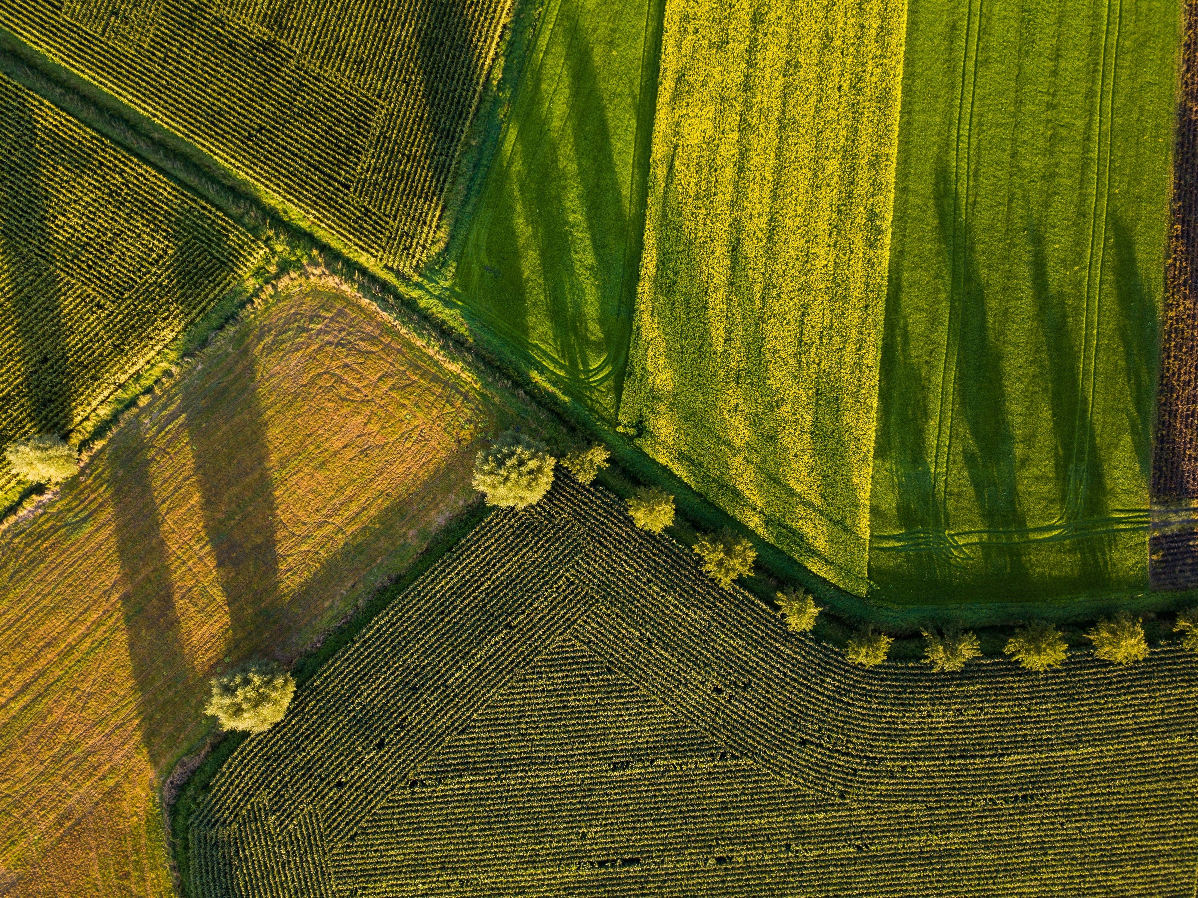
Gentian x Coreo
Coreo manages BNG delivery for some of the UK's most ambitious developer portfolios. Gentian sits underneath as the habitat-mapping and baseline data layer: UKHab-compliant outputs delivered straight into Coreo, so you get planning-ready evidence and the partner workflow you already trust. Same single source of truth, from baseline to 30-year monitoring.
-1.png?width=1920&height=1080&name=Website%20Graphics-2%20(1)-1.png)
.png?width=1207&height=716&name=Untitled%20(59).png)

True Sight for rapid BNG scoping for early-stage decisions
True Sight is designed for speed. It provides instant, BNG-tailored biodiversity insights for UK sites, including habitat classifications, distinctiveness data and biodiversity unit estimates.
Best for:
-
Early site screening
-
Site acquisition support
-
Initial BNG scoping
-
Portfolio triage
-
API-led partner workflows
Typical use: “Which sites need attention first?”
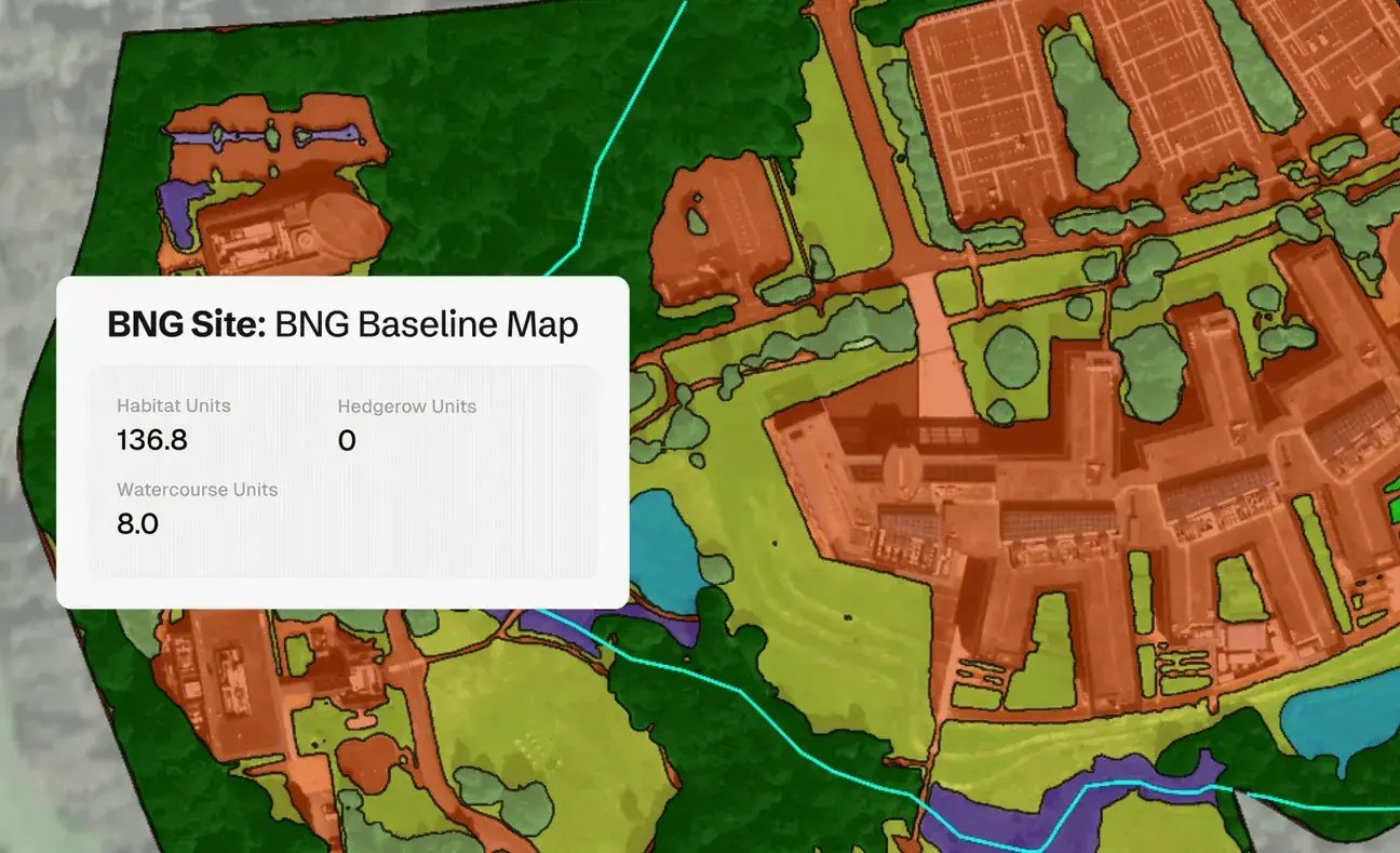

True Sage for detailed habitat mapping for stronger evidence
True Sage provides more detailed habitat mapping using very high-resolution imagery and ecology-reviewed outputs. It is better suited to more comprehensive portfolio mapping, long-term monitoring and evidence-led biodiversity reporting.
Best for:
-
Detailed habitat baselines
-
Portfolio-wide biodiversity mapping
-
Change monitoring
-
Restoration tracking
-
Nature-related reporting
Typical use: “How do we evidence and monitor biodiversity across our sites?”